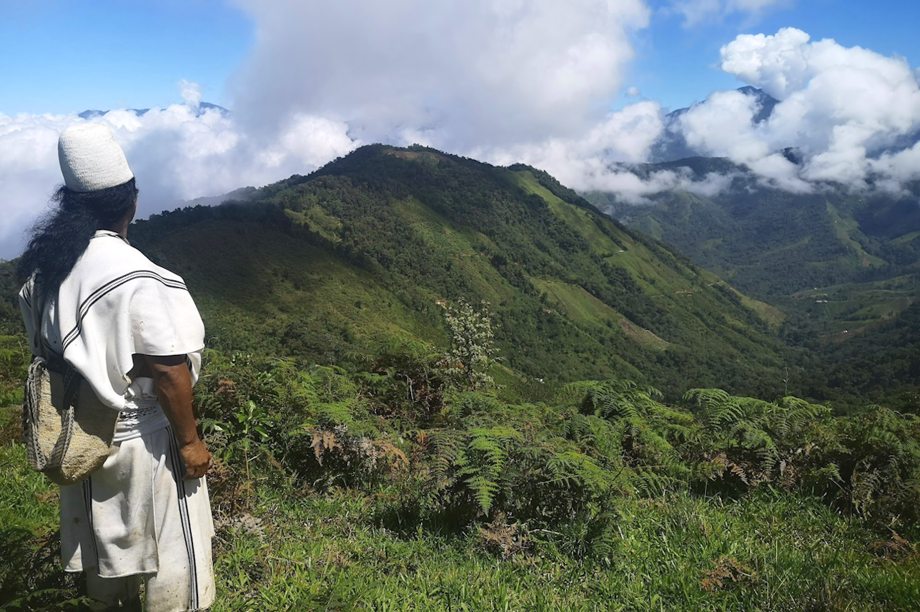

The Arhuaco Sacred Forests project
By Diego Barbulo
/ December 7, 2023
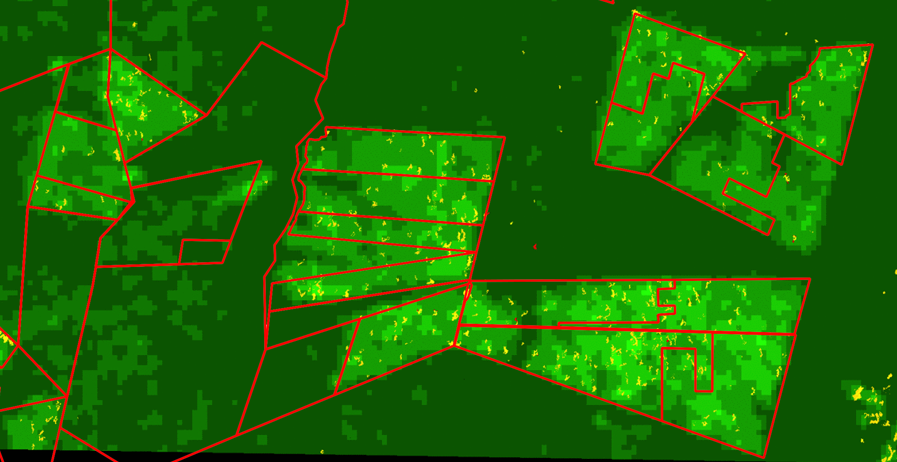
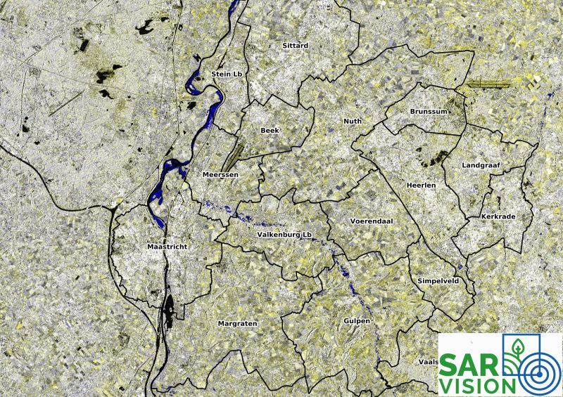
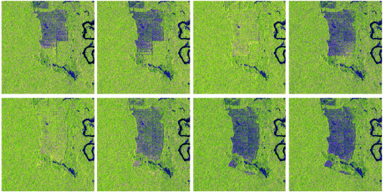
Wageningen, 6th December 2023 SarVision has signed a 5-year partnership with Sacred Forests, the Amsterdam-based nature conservation enterprise that empowers...
Read More